
Baía dos Tigres - The dynamic of the process
DOI:
https://doi.org/10.14295/bjs.v3i6.554Keywords:
restinga, tiger bay, spawning, fishingAbstract
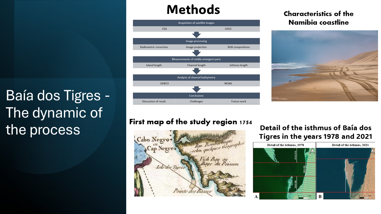
Baía dos Tigres is a well-known sandbank in Angola, referred to since the 15th century when the Portuguese navigators passed there in 1488, on the voyage that allowed them to round the Cape of Good Hope, in southern Africa. It is a phenomenon of a sedimentary nature and therefore it is linked to the availability of solid flow carried by the drift current coming from the South. However, several changes in its condition have been recorded over the centuries. It has shifted from being a sandbank (restinga) and an island, this latter occurring when the isthmus that connects it to the mainland broke, becoming a restinga again when it reestablisheb itself. In March 1962, a huge storm at sea destroyed the fragile structure connecting the land to the coast and since then, precisely 60 years ago, Baía dos Tigres became an island, being separated from the coast in a way that seemed definitive. The observation and analysis of the satellite images used in this work seem to suggest that a setback is beginning to appear, since Baía dos Tigres may be starting to reconnect to the mainland. If this occurs, there is the possibility for Angola to have again a true fish hatchery where countless varieties of fishes and molluscs find unique conditions for spawning. Those partially closed conditions, with waters sufficiently oxygenated to generate excellent biological environment for spawning, are of great importance for the future of fish industry in the country. If those conditions are restored, the zone will be protected from the direct action of storms and the speed of currents, covering an area of more than 250 km2. This article makes an up-date of the situation, based on the analysis of satellite images currently available.
References
Bellin, J. N. (1754). Carte Réduite Des Costes Occidentales d’Afrique. Departement de la Marine, Paris.
Dyer, K. R., & Huntley, D. A. (1999). The Origin, Classification and Modelling of Sandbanks and Ridges. Continental Shelf Research, 19(10), 1285-1330. https://doi.org/10.1016/S0278-4343(99)00028-X DOI: https://doi.org/10.1016/S0278-4343(99)00028-X
Garzanti, E., Vermeesch, P., Andò, S., Lustrino, M., Padoan, M., & Vezzoli, G. (2014). Ultra-long distance littoral transport of orange sand and provenance of the Skeleton Coast Erg (Namibia). Marine Geology, 357, 25-36. https://doi.org/10.1016/j.margeo.2014.07.005 DOI: https://doi.org/10.1016/j.margeo.2014.07.005
General Bathymetric, Chart of the Oceans. (2024). Overview. In: What we do. Available in: https://www.gebco.net/about_us/overview/ Access in 05/12/2024.
Giresse, P., Hoang, C-T., & Kouyoumontzakis, G. (1984). Analysis of vertical movements deduced from a geochronological study of marine Pleistocene deposits, southern coast of Angola. Journal of African Earth Sciences, 2(2), 177-187. https://doi.org/10.1016/S0731-7247(84)80012-9 DOI: https://doi.org/10.1016/S0731-7247(84)80012-9
Guilcher, A., Medeiros, C. A., Esteves de Matos, J., Tomás de Oliveira., J., (1974). Les restingas (Flèches Littorales) d’Angola spécialement celles du Sud et du Centre. Finisterra, 9(18), 173-211. DOI: https://doi.org/10.18055/Finis2357
Goscombe, B., Hand, M., Gray, D., & Mawby, J. (2003). The methamorfic arquitecture of a transpressional orogen: the Kaoko Belt, Namibia. Journal of Petrology, 44(4), 679-711. https://doi.org/10.1093/petrology/44.4.679 DOI: https://doi.org/10.1093/petrology/44.4.679
Guilcher, A. (1954). Dynamique et morphologie des côtes sableuses de l'Afrique Atlantique. In: Cahiers de l'Information Géographique, Paris, France.
Jessen, O. (1951). Dünung im Atlantik und an der Westküste Afrikaas. Sonderabdruck aus Petermanns Geographische Mitteilungen, Frankfurt, 1.
Mendelsohn, J. S. (2018). Sudoeste de Angola, um retrato da terra e da vida. Ed. Printer Portuguesa, Raison, Universidade do Porto, Portugal.
Nascimento, D. B. (2012). Estratigrafia da sequência Damara, Neoproterozóico, em Damaraland, Namíbia. Dissertação de Mestrado em Geologia pela Universidade Federal do Rio de Janeiro, Brasil, 117 p.
Pereira, D. P. (1505). Esmeraldo de Situ Orbis. In: Grande Enciclopédia Portuguesa-Brasileira, Editorial Enciclopédia, Lisboa-Rio de Janeiro, 1935-1957 p.
Ribas, F., Flques, A., Van den Berg, N., & Caballeria, M. (2013). Modeling shoreline sand waves on the coasts of Namibia and Angola. International Journal of Sediment Research, 28(3), 338-348. https://doi.org/10.1016/S1001-6279(13)60044-X DOI: https://doi.org/10.1016/S1001-6279(13)60044-X
Tábua de Marés. (2024). Tábua de Marés e Solunares. Available in: https://tabuademares.com/af/angola/tombua Access in: 05/12/2024.
Zenkovich, V. P. (1967). Processes of coastal development. Oliver and Boyd, Edimburgh and London.
Downloads
Published
How to Cite
Issue
Section
License
Copyright (c) 2024 Cleide Borges da Costa, Cidália Fonte, Cármen Van-Dúnem Santos, Amândio Teixeira-Pinto

This work is licensed under a Creative Commons Attribution 4.0 International License.
Authors who publish with this journal agree to the following terms:
1) Authors retain copyright and grant the journal right of first publication with the work simultaneously licensed under a Creative Commons Attribution License that allows others to share the work with an acknowledgement of the work's authorship and initial publication in this journal.
2) Authors are able to enter into separate, additional contractual arrangements for the non-exclusive distribution of the journal's published version of the work (e.g., post it to an institutional repository or publish it in a book), with an acknowledgement of its initial publication in this journal.
3) Authors are permitted and encouraged to post their work online (e.g., in institutional repositories or on their website) prior to and during the submission process, as it can lead to productive exchanges, as well as earlier and greater citation of published work.